Industries
Built for every sector
that flies
DroneFlow.Ai is purpose-built for the teams that depend on accurate, fast aerial data — from active construction sites to land-development teams.
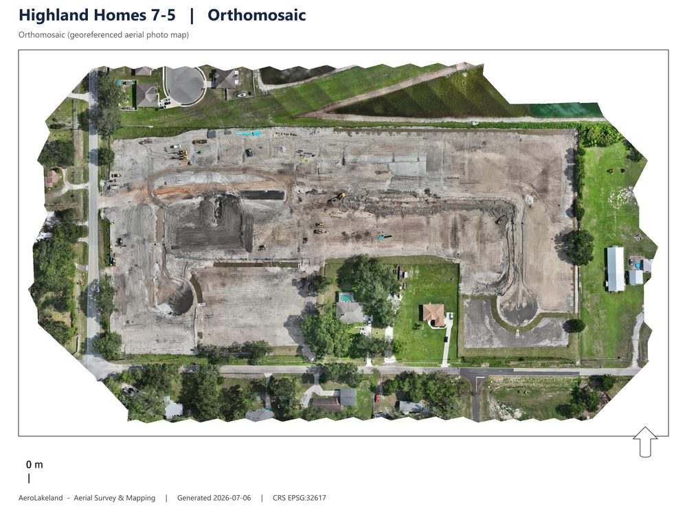
Construction & Grading
Track progress. Prove it.
Document site progress, calculate earthwork volumes, and produce high-resolution as-built documentation and measurable site records — between formal survey milestones, without a field crew for every visit.
See how progress tracking works across flights
Work out what recurring capture costs at your volume
- Weekly/bi-weekly progress capture
- Cut/fill volume calculations
- As-built orthomosaic documentation
- Client progress reports
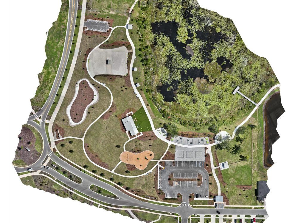
Real Estate & Land Development
Show the whole site, not just a listing photo.
Give brokers and developers a full orthomosaic and 3D view of a property — topography, site context, and measurable distances in one deliverable.
- Orthomosaic site maps
- Topographic contour mapping
- 3D site models for pitch decks
- Shareable client portal links
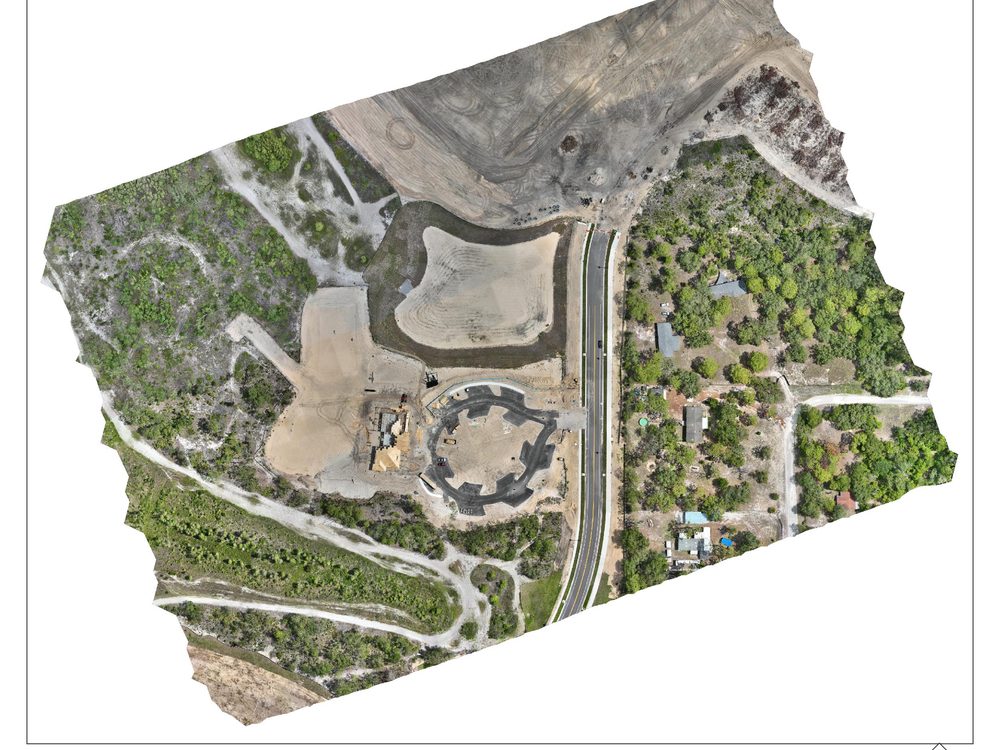
Solar & Energy
Map the site before you build on it.
Elevation data and orthomosaics for panel-array layout planning and pre-construction site assessment.
- DSM/DEM for site grading
- Orthomosaic pre-construction site map
- Contour export to CAD (DXF)
- Repeat captures for build tracking
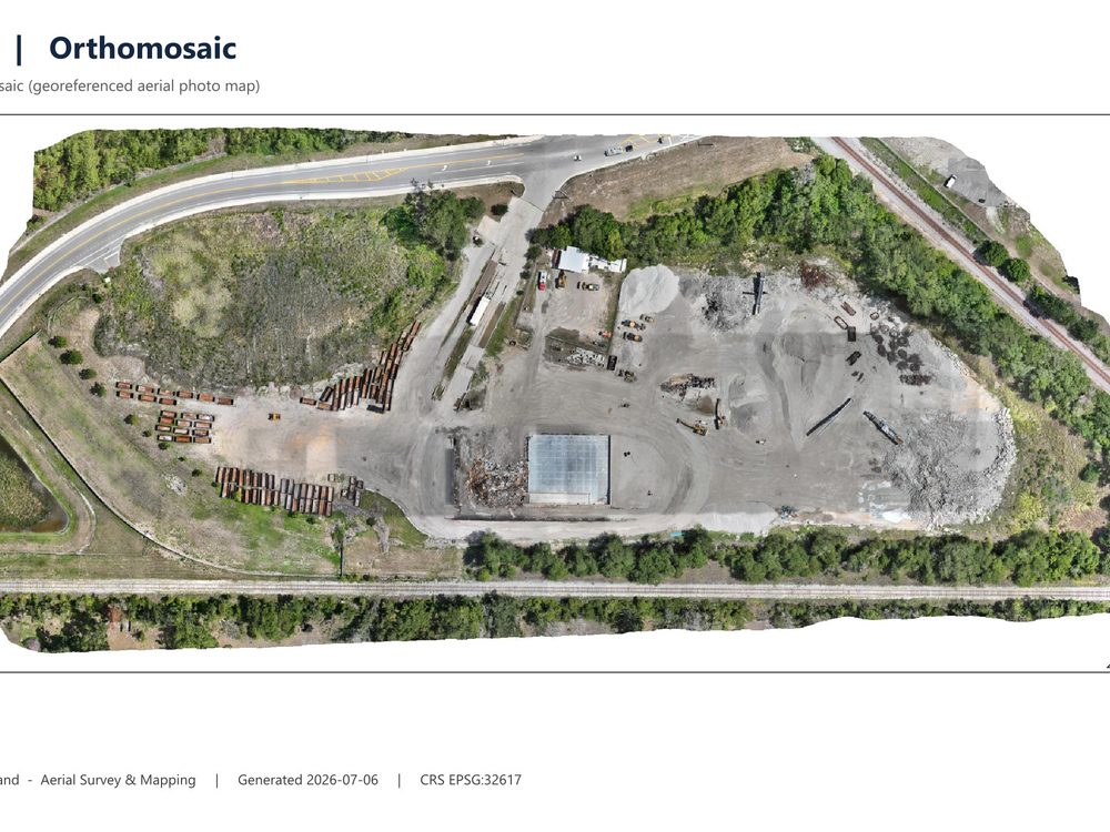
Infrastructure & Roofing / Insurance
Document what's hard to reach on foot.
Roofline documentation, drainage assessment, and infrastructure inspection captures — organized and ready to share with adjusters or engineers.
- Roofline & elevation documentation
- Drainage / contour assessment
- High-resolution inspection imagery
- Revocable share links for adjusters
Accuracy depends on the aircraft, camera, altitude, flight geometry, image overlap and quality, RTK/PPK correction, ground control, checkpoints, terrain, vegetation, coordinate system, and processing configuration. Centimeter-level results may be achievable with appropriate RTK, PPK, surveyed ground control, checkpoints, and qualified validation. DroneFlow.Ai outputs do not constitute a licensed land survey unless reviewed and certified by an appropriately licensed professional.