Features
Everything you need to
deliver professional results
Start from raw photos or a finished export (included with Pilot and Fleet, and during the free trial) — every tool a drone data team needs, from reconstruction to client-ready deliverable, in one platform.
New — for subdivisions
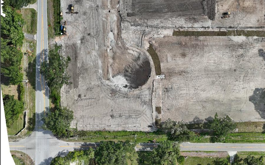
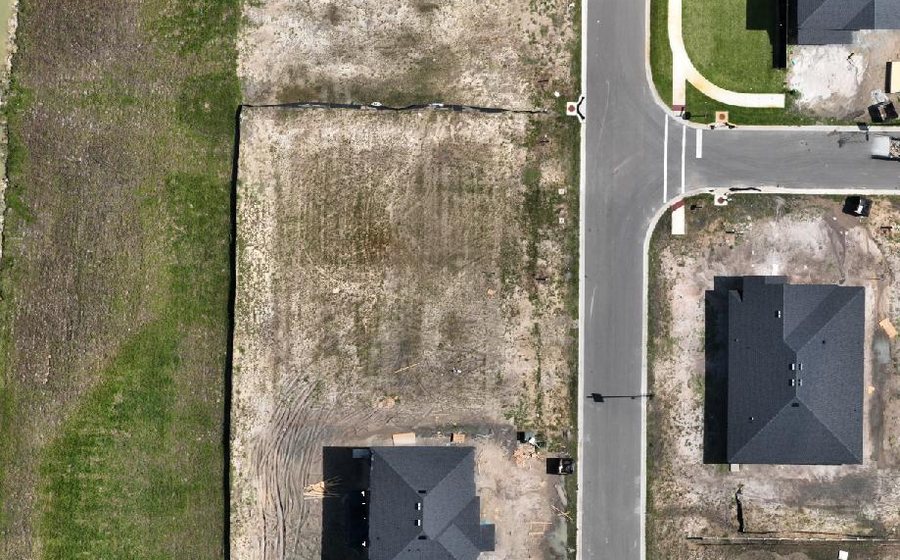
Track a subdivision lot by lot, not site by site
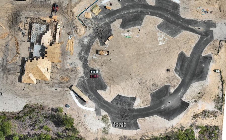
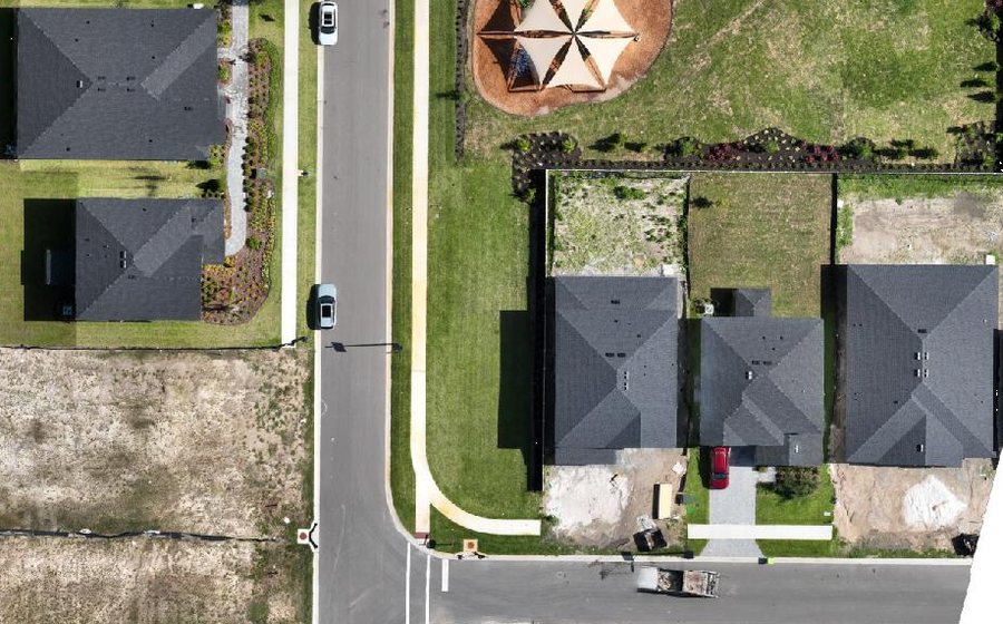
Upload the recorded plat and every lot becomes a row — its area from the boundary, a status you control, and its own cut and fill in cubic yards once you have flown the site twice. It answers “is lot 47 ready?”, which no site-level number can.
See the Lot LedgerNew — for repeat flights
Every period of a site’s history, not just before and after
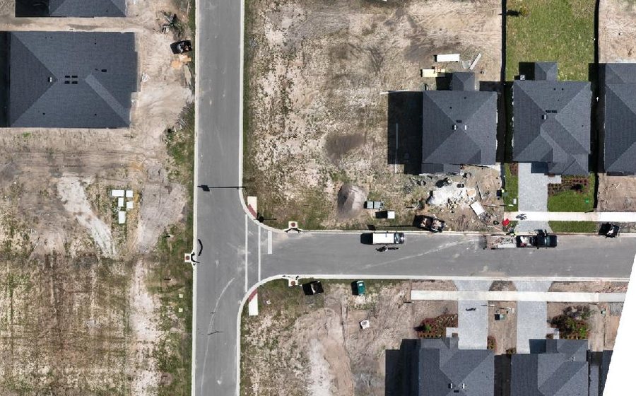
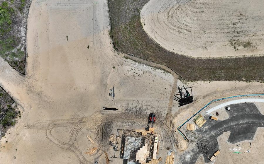
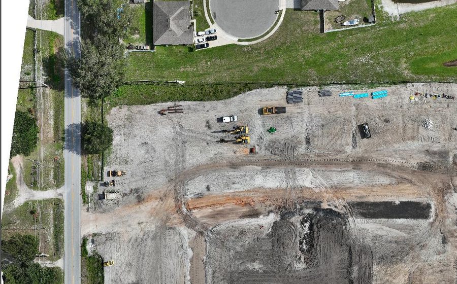
Put up to eight flights of one site on a timeline and get cut, fill and net for every period between them, measured over the ground they all share — plus a weekly email when a site moves. It refuses to quote a number where one would be wrong, and says which case you are in.
See progress trackingPhotogrammetry
Raw photos in, finished map out
No Software Needed
Drop the photos (or the whole folder) straight off the SD card — no zipping, no desktop photogrammetry suite, no GPU workstation.
RTK-Aware Accuracy
We read the per-photo positions your images already carry and pass them through reconstruction, so a genuine RTK fix isn't thrown away: where a DJI flight held one, its per-photo precision weights the solve, and RTK that was on but never fixed is positioned as standard GNSS, weighted accordingly, and the project page says so. Geotagged JPEG or PNG from most drones, DSLRs and phones works — shoot RAW or HEIC and export to JPEG first, and a capture with no GPS at all needs ground control. Per-photo RTK precision is read from DJI captures; other cameras are positioned from standard EXIF GPS. With good RTK or PPK and ground control, centimeter-level accuracy is achievable — results depend on your capture, not just the software.
The Full Deliverable Set
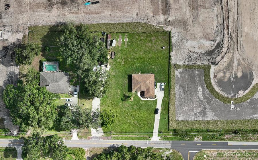
One upload produces the orthomosaic, surface & terrain models, contours, point cloud, textured 3D model and a branded PDF report.
Pay for What You Map
No subscription needed for one-off sites: buy credits from $49 and pay only for what you map — credits never expire. Mislabelled uploads are auto-detected and routed correctly.
Processing & Outputs
Processing & Outputs
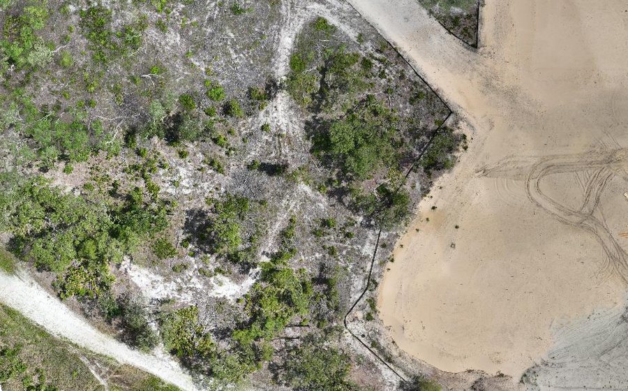
Orthomosaic Packaging
Bring a stitched GeoTIFF — or let us build one from your photos — and get a validated, georeferenced KMZ and web-tiled overlay back.
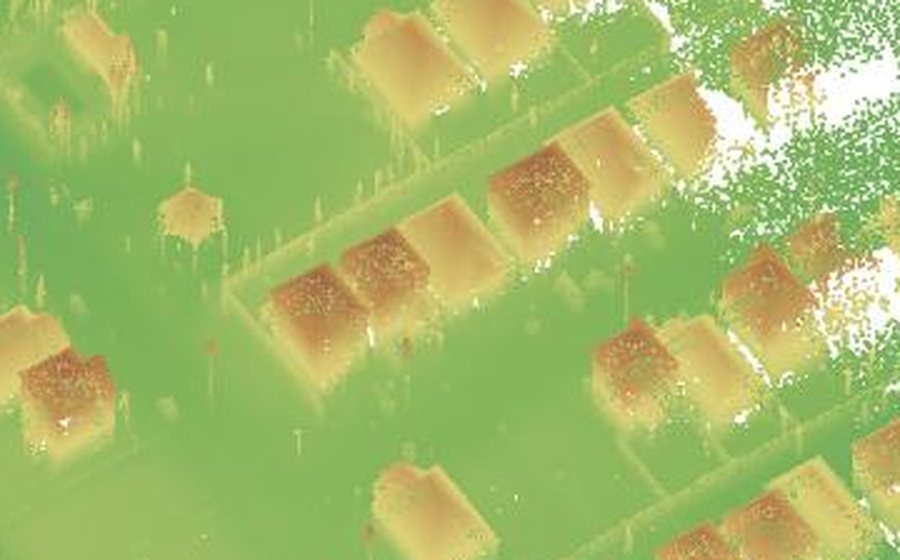
3D Model Packaging
A browser-ready interactive 3D viewer from your reconstructed mesh or ours — nothing to install on the viewer's end.
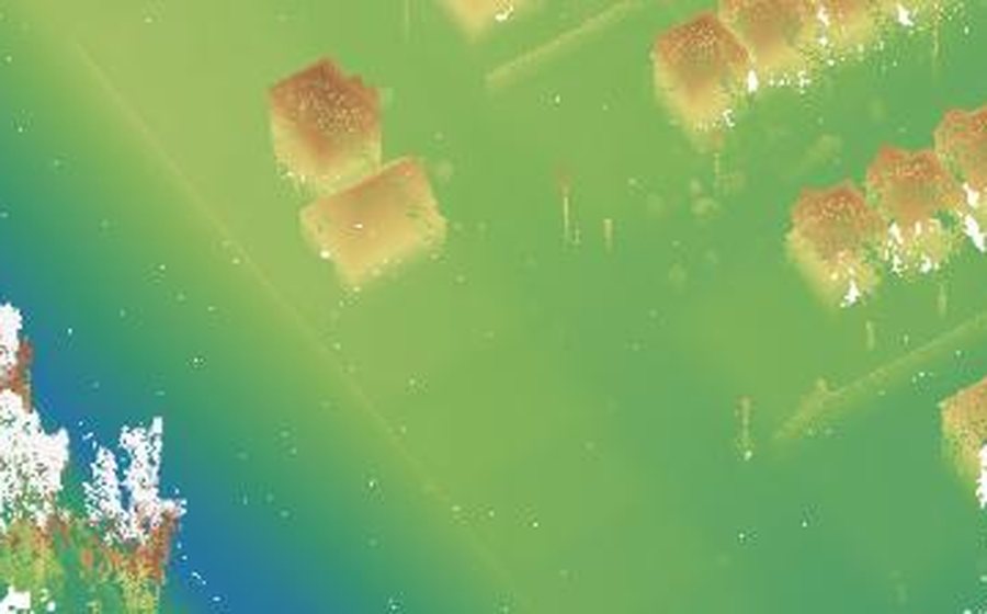
DSM / DEM Analysis
Colorized Surface and Elevation Models with contour line extraction, from your uploaded GeoTIFF, for grading and drainage work.
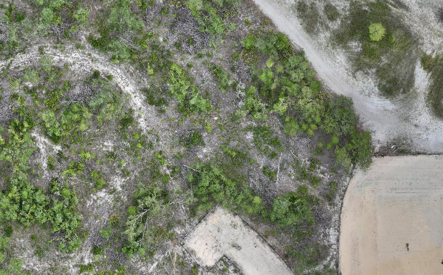
Point Cloud Export
Your dense LAS/LAZ point cloud, repackaged with a browsable KMZ footprint and a clean download link.
Measurement
Measure the site, not a screenshot of it
Every tool below reads the survey behind the picture — the elevation model your own flight produced — and tells you which surface it used.
Distance, area and grade
Draw a line or a boundary and get length, area, and the grade along it in percent, degrees or an H:V ratio. Grade is read off the bare-earth terrain model where your project has one and the surface model where it doesn’t — and the readout names which it used.
Stockpile volumes
Outline a pile and get its volume against a fitted base. That figure is loose — the pile as it sits. Enter your own swell and shrinkage for the job and bank and compacted appear beside it; leave them blank and they stay absent rather than being guessed for you.
Cut and fill against your design
Upload a design surface and see where the site sits above and below it, with cut and fill reported separately. Both surfaces have to be on the same vertical datum for the answer to mean anything — DroneFlow checks that rather than assuming it.
Checked against your own control
Upload surveyed checkpoints and get an accuracy report comparing them to the delivered surface. It is the one number that tells you whether the map is worth measuring on — and it is measured against control the map was never fitted to.
Project Management
Every project, tracked end to end
Processing Status
Live step-by-step timeline for every job — queued, extracting, processing, QA, done.
Deliverables Dashboard
Every file from every project, organized by upload — no more digging through folders.
Client Share Links
Hand a client a revocable link that expires by date or view count — no account required.
Plan & Usage
Track projects used, plan limits, and upgrade the moment you need more capacity.
AI Tools
AI that inspects, repairs and mines every map
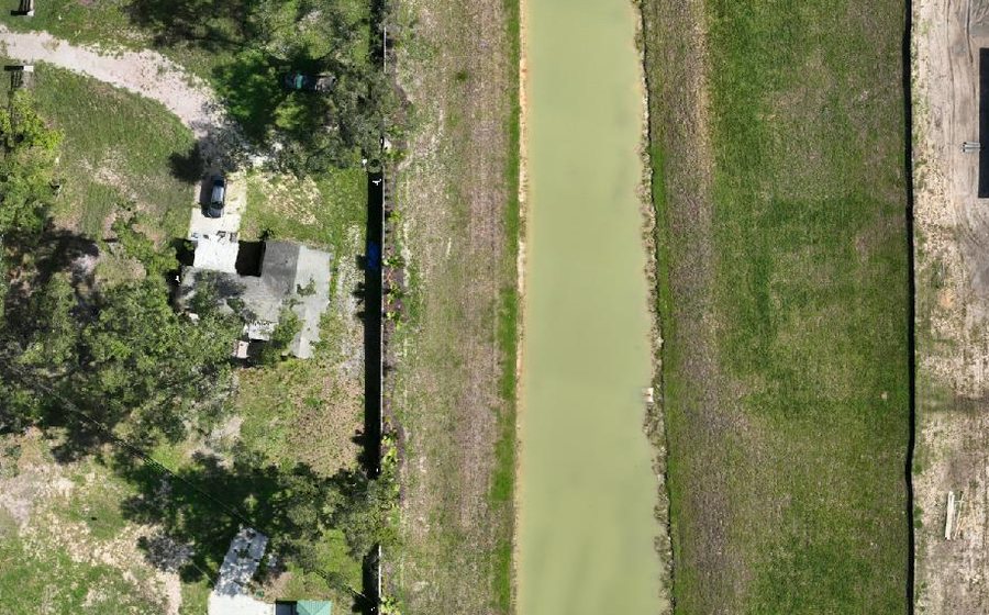
AI Map Doctor
Finished maps are scanned for defects — floating fragments, holes, seams — and scored. Review each finding, keep or remove it, and apply repairs in one click. Inspection runs automatically and never blocks delivery, so a map ships whether or not the scan completes.
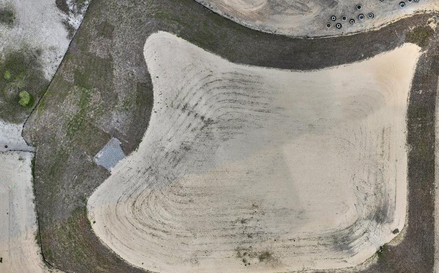
Undo-Safe Repairs
Repairs produce a separate cleaned copy; your original map is never modified. Don't like the result? One click restores exactly what you had.
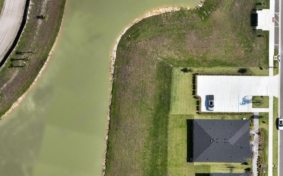
AI Mapping Expert
Chat with an assistant that knows your project's real data — elevations, areas, progress between flights — and explains processing issues in plain English.
Ready to see it on your own site?
Pay for what you map — or subscribe for recurring work. Start with a 7-day free trial of the full platform, no credit card required. Or check out a real case study first.